At the centre of one of Singapore’s most lived-in estates.
Hougang has been growing into itself for generations — its food, its schools, its parks and its community are part of the architecture as much as the building itself. The development sits directly above Hougang MRT, with integrated retail and a bus interchange at its base.
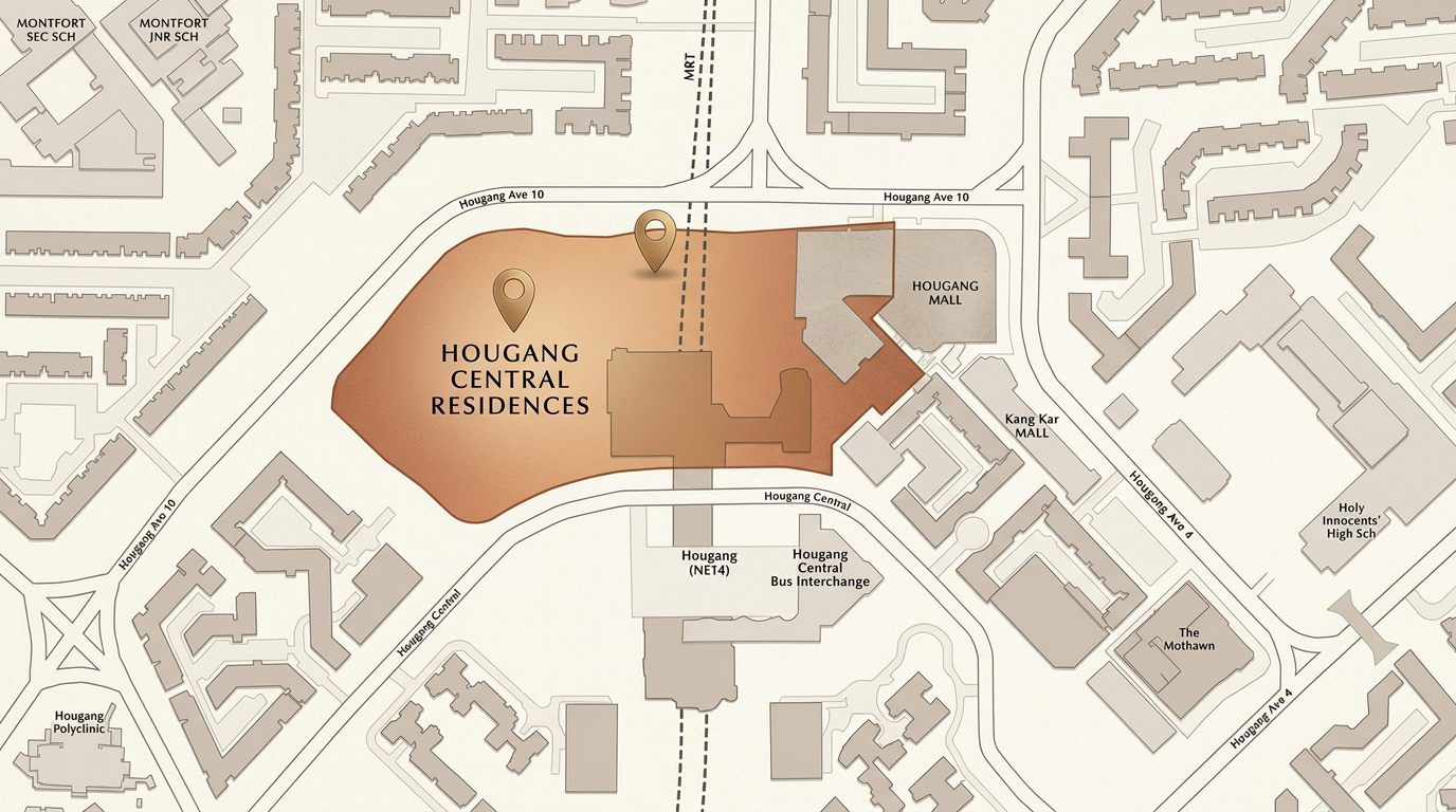
Illustrative map. Distances and positions indicative.
The North East Line today. The Cross Island Line tomorrow.
Hougang MRT is a confirmed future interchange between the NEL and the upcoming Cross Island Line — a once-in-a-generation upgrade to the connectivity of this address. The development connects directly to the station and bus interchange, with the Kallang–Paya Lebar Expressway minutes away.
- · Direct link to Hougang MRT (NE14) — North East Line
- · Future Cross Island Line interchange (slated late this decade)
- · One-stop interchange access to NEL, CRL and bus network
- · Minutes from Kallang–Paya Lebar Expressway (KPE)
- · Direct access to CTE and TPE via KPE
- · Integrated bus interchange at the base of the development
A lifestyle composed across decades.
From hawker classics on Upper Serangoon to riverside walks at Punggol Park — the texture of Hougang is one of layered, generational use. Malls, schools and parks sit within an easy walk.
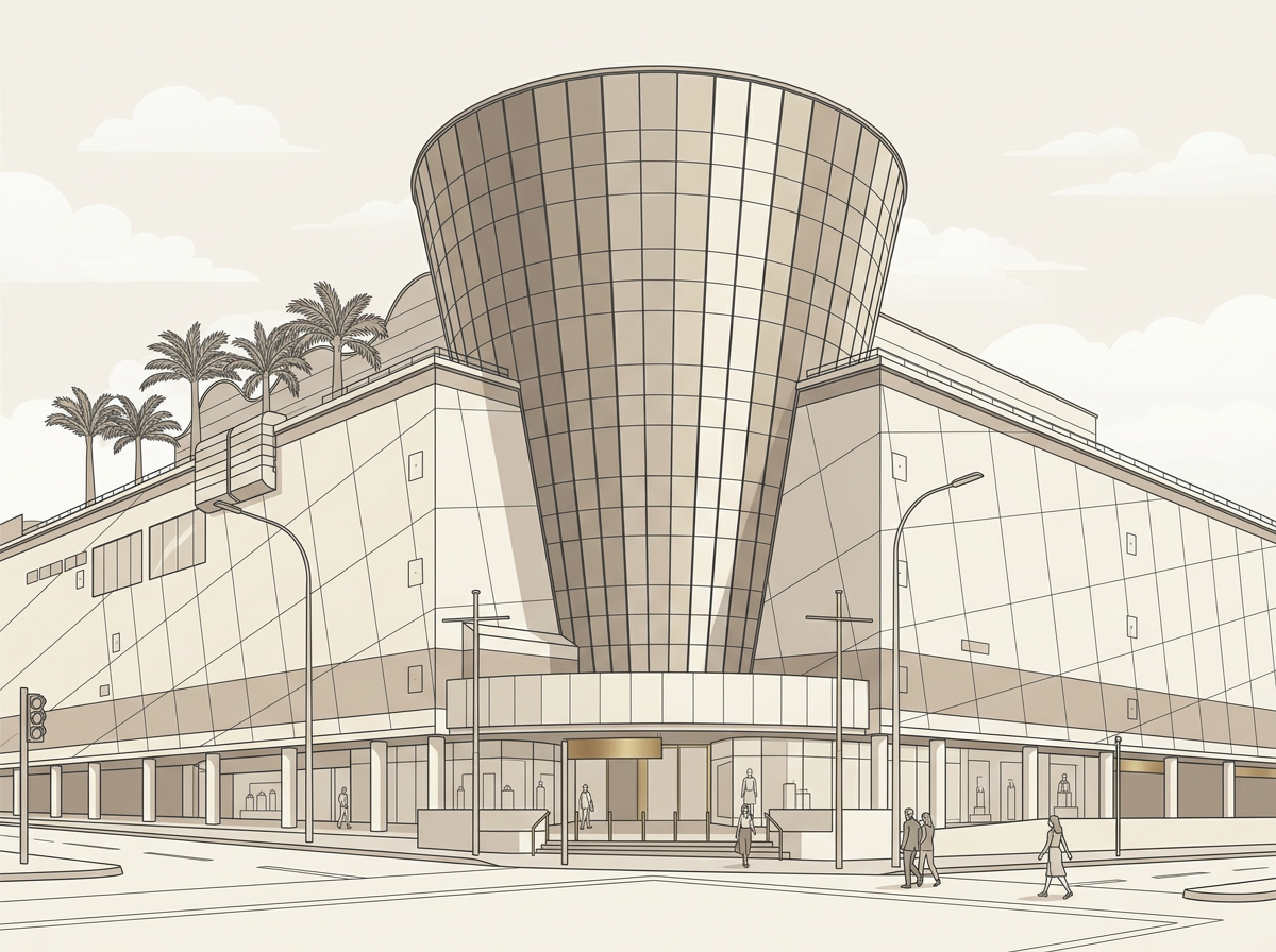
Hougang Mall, Hougang 1 and Kang Kar Mall — plus an integrated retail podium at the base of the residences.
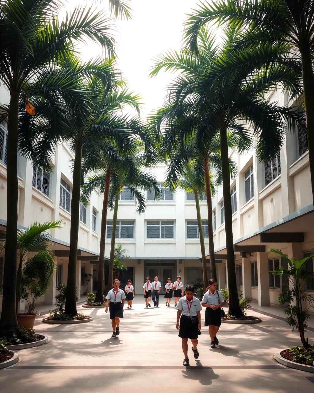
Montfort Junior directly opposite. CHIJ Our Lady of the Nativity, Holy Innocents’ Primary and Montfort Secondary within easy reach.
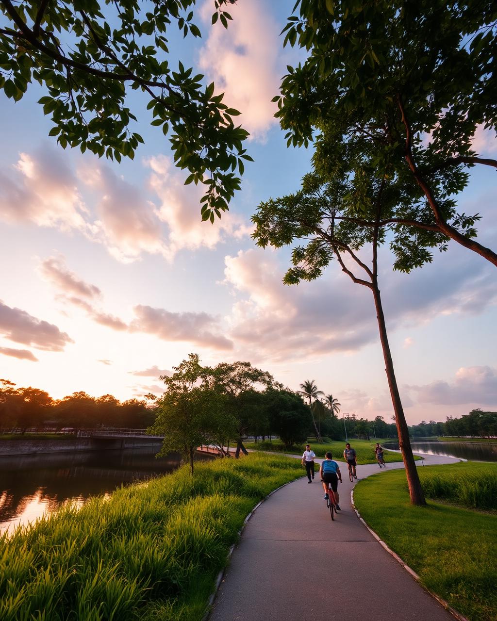
Punggol Park, the Serangoon Park Connector, Hougang Stadium and Sports Centre — a green network on the doorstep.
All distances, travel times and surrounding amenities are indicative and subject to change. Cross Island Line interchange dates per LTA announcements.
What sits within reach.
A plain directory of the schools, malls, transport links and workplaces around Hougang Central. Distances are indicative and should be verified for your own use.
- Hougang MRT (North East Line, NE14)
- Hougang MRT (Cross Island Line interchange, targeted 2030)
- Hougang Central Bus Interchange
- Upper Serangoon Road arterial
- Kallang–Paya Lebar Expressway (KPE)
- Central Expressway (CTE) via Braddell Road
- Integrated retail podium on site (2030/2031, expected)
- Hougang Mall
- Hougang 1
- Kang Kar Mall
- Heartland Mall Kovan
- Hougang Green Shopping Mall
- NEX Serangoon
- Compass One Sengkang
- PCF Sparkletots @ Hougang Central
- Star Learners @ Hougang
- My First Skool Hougang Avenue 10
- Little Paddington Preschool Kovan
- Brighton Montessori Kovan
- Montfort Junior School
- Holy Innocents' Primary School
- CHIJ Our Lady of the Nativity
- Xinmin Primary School
- Punggol Primary School
- Yio Chu Kang Primary School
- Montfort Secondary School
- Bowen Secondary School
- Serangoon Secondary School
- Xinmin Secondary School
- Nanyang Junior College
- Hougang Secondary School
- Punggol Park
- Serangoon Park Connector
- Hougang Stadium and Sports Centre
- Hougang Swimming Complex
- Hougang Polyclinic
- Sengkang General Hospital
School proximity does not guarantee registration priority. Ballot outcomes and admission rules are set by the Ministry of Education. Amenity list compiled from public sources and subject to change.